


Photo: Simon Burchell, CC BY-SA 4.0, vía Wikimedia Commons
Val de San Vicente
The westernmost municipality on the Cantabrian coast, with about 2,800 inhabitants, at the mouths of the Deva and the Nansa, which form the Tina Mayor and Tina Menor estuaries. It lives from tourism, thanks to its landscape, and from a food industry with corbatas pastries as a typical product. Its heritage includes the Estrada tower, the Castillo hillfort in Prellezo and the Camino Lebaniego, a World Heritage route.
Weather in Val de San Vicente
16°NowClear
- Thu 19Rain16° 8°
- Fri 20Cloudy17° 9°
- Sat 21Drizzle17° 12°
Places


Where to eat and stay
- Bar Restaurante La AsturianaRestaurant
- Casa Ceto BAR TIENDARestaurant
- Parrilla El FogónRestaurant
- Pension Restaurante QuintanaRestaurant
- Restaurante La EspinaRestaurant
- Tacos PointRestaurant
- Albergue de peregrinos de SerdioAccommodation
- Hospedaje La EspinaAccommodation
- Hostal Restaurante BavieraAccommodation
- Hostal Rio Deva 2Accommodation
- Hotel CanalAccommodation
- Hotel Don PabloAccommodation
Photo credits
- Iglesia de San Julián de Serdio, Iglesia de Nuestra Señora de la Natividad de Muñorrodero: Simon Burchell, CC BY-SA 4.0, vía Wikimedia Commons
- Torre de Estrada: Foto: Javier Mediavilla Ezquibela, CC BY-SA 3.0 ES, vía Wikimedia Commons
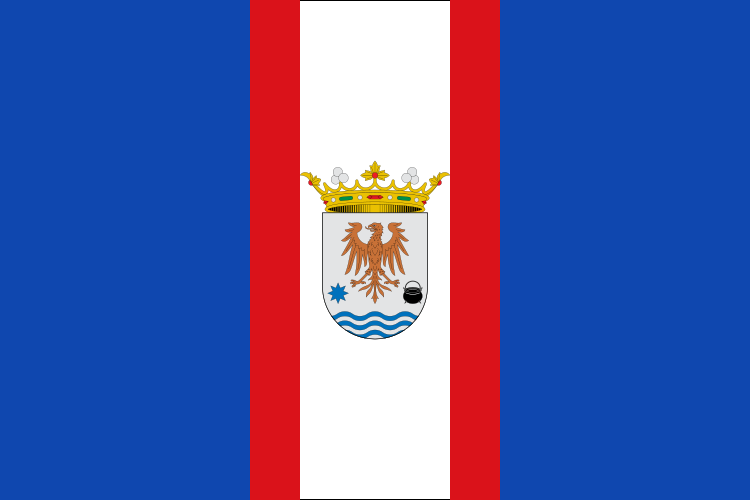
- Flag of Val de San Vicente: Erlenmeyer, CC BY-SA 4.0, vía Wikimedia Commons
The map is optional: the lists on this page have the same information.